
Union Hill-Novelty Hill Neighbor Sources
A block lookup begins with geography, not names. Search one address, save the target parcel, then select only parcels that touch it or face it across the road. Public records can show parcel geometry, owner or taxpayer leads, recorded land relationships, permit dates, and historical household clues. They cannot prove that two people know each other or that an owner lives on the land.
| Source | What It Shows About a Block | Access |
|---|---|---|
| Parcel Viewer / iMap | Parcel geometry, roads, layers, and jurisdiction | Free map browse and parcel selection |
| Assessor / eReal | Owner or taxpayer lead, value, and building fields | Address, parcel, or owner search |
| Landmark | Transfers, easements, plats, liens, and boundary changes | Online index; older records at Archives |
| King County permits | Dated work, inspections, and code records | Portal; some files need a request |
| KCLS / SPL directories | Historical households and businesses by route or address | Databases, microfilm, and digitized pages |
| Association pages | Boards, contacts, meetings, and notices | No public member directory located |
Washington's voter file has formal access and use restrictions, while My Voter Information authenticates one voter rather than listing a block. Business filings show an entity tie, not a home. A defensible result is therefore a small parcel set with official links and a plain statement of what each record confirms.
Map Union Hill-Novelty Hill Neighbors
The King County Parcel Viewer accepts an address or parcel and supports map selection. It has no separate radius-based resident tool. Zoom out one or two levels, click parcels touching or facing the target, and record each ten-digit ID. Turn on parcel, aerial, contour, zoning, planning, and district layers where useful.
- Search the target address and confirm the parcel against the road and map.
- Save the parcel ID, legal description, jurisdiction, inspection date, and layer set.
- Click only touching parcels or those directly across the road, then save their IDs.
- Open eReal only as needed, and compare situs with tax mailing addresses.
- Check shared plats, easements, common grantors, or boundary adjustments in Landmark.
Use legal descriptions rather than the apparent line in aerial imagery. A shared recording can explain why two parcels appear together without proving a social relationship. For a whole road, use the Union Hill-Novelty Hill street directory workflow.
See Union Hill-Novelty Hill Neighbor Parcels
The county's property research hub links parcel maps, assessor reports, permits, and recorded-document research.
The screen begins a bounded map study. It does not turn surrounding parcels into a current resident roster. Date-stamp the map and note each layer used so another person can repeat the search.
Union Hill Roads Divide the Area
King County Assessor Area 71 offers a practical local frame. Its official bounds include Novelty Hill Road to the north, Avondale Road to the west, West Snoqualmie Valley Road to the east, and Sammamish Valley to the south. Roads within it include NE Union Hill, NE Ames Lake, NE Tolt Hill, and SR 202.
The report distinguishes Redmond Ridge and Redmond Ridge East, land between NE Union Hill Road and SR 202, and a northern equestrian or view-property area. These are valuation subareas, not resident districts or historical CDP boundaries. Use them to divide map work, then confirm each parcel.
Note: A Redmond postal label cannot decide whether a parcel belongs to Redmond, Sammamish, or unincorporated King County.
Road frontage also affects who seems “next door.” A parcel may touch another at a narrow corner yet face a different road. Record north, east, south, west, across-road, or shared-boundary position instead of placing all selected parcels in one loose group. The result is a geographic worksheet, not a claim about the people connected with those lots.
Union Hill-Novelty Hill Neighbor Contacts
The association layer is fragmented. Public pages offer board, meeting, committee, or service contacts, but no CDP-wide member directory was located. Ask about a public issue or historical topic rather than a private roster.
Redmond Ridge ROA
Association history and contact for Redmond Ridge. Board and committee information is public; members are not.
Redmond Ridge East
Community governance and meetings. Its homeowner portal is not a public directory.
Union Hill Water Association
Trustees and contact route give civic context. No customer roster was found.
The public Union Hill Water Association page illustrates the governance information available.
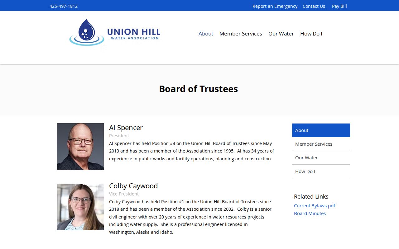
Named trustees are public contacts, not a list of residents served by the association.
The Redmond Ridge ROA About page gives another public route for community context.
Its published office and association details identify the organization, not the people in each nearby home.
Redmond Ridge East likewise publishes community governance information and a homeowner portal.
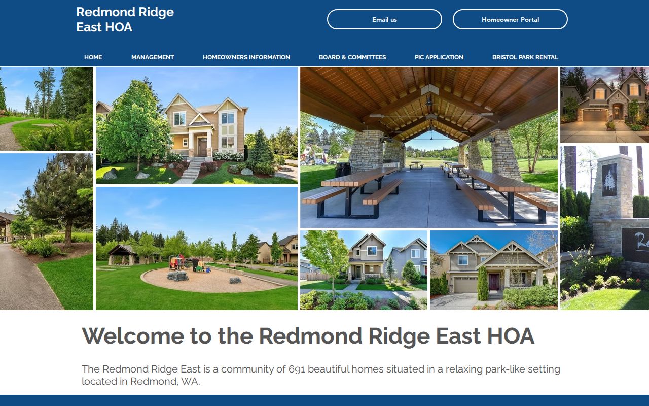
The public landing page supports a community contact search. Access-controlled member material stays outside a public neighbor lookup.
Redmond Ridge ROA and Redmond Ridge East are useful only within their actual community areas. The City of Redmond neighborhood map applies to parcels inside incorporated Redmond and is not a CDP-wide directory. Union Hill Water Association signals utility and civic context, but its public trustee list does not reveal customers. No established source yielded a public congregation, block-watch, or civic-club roster for the whole CDP.
Official Union Hill-Novelty Hill Neighbor Evidence
Commercial neighbor tools combine parcel, directory, marketing, and other data whose age and source may be unclear. Official records are narrower, but each has a named custodian, date, and defined field.
| Source type | Strength | Key limit |
|---|---|---|
| County parcel and map | Parcel geometry and taxpayer lead | Not a household list |
| Recorder and permits | Dated official documents | Parties may not reside there |
| Historical directories | Year-specific household clues | Rural coverage varies |
| Commercial compilation | Broad convenience | Freshness and provenance vary |
Keep a dated log. Stop expanding the neighbor set when the task would require a private roster, utility-customer list, sealed file, protected voter data, an ACP address, or an exact protected registry address.
If the purpose is current official contact, use the agency or association contact that the organization chose to publish. If the purpose is a block history, shift to roads, plats, public meeting notices, newspaper archives, cemetery records, and building evidence. Both routes answer useful questions without implying that every nearby household is open for inspection.
Privacy Limits for Union Hill Neighbors
Public does not mean unrestricted. Washington's Address Confidentiality Program gives eligible people a substitute address while the actual address remains protected. Never combine parcel, voter, court, or map clues to reverse it. Voter files withhold full dates of birth, identification numbers, and protected details. The public registry layer can use hundred-block geography rather than an exact address.
Lawful use. Research Union Hill-Novelty Hill neighbors for civic context, local history, reconnecting, or personal safety. Never use records to watch, harass, intimidate, or harm anyone.
Historical sources offer safer alternatives. Property cards, plats, directories, road history, newspapers, and public meeting notices can describe a block without exposing needless current names. A map can answer which lots are adjacent while leaving private relationships alone.
RCW 29A.08.740 prohibits specified advertising, offer, and solicitation uses of voter lists and provides criminal and civil consequences. Washington harassment and stalking laws also apply regardless of whether a starting record was public. When a source is restricted, sealed, or protected, that is a stop condition, not an invitation to reconstruct the hidden fact from other databases.